

This trail runs from the popular basecamp at Landmannalaugar, across the highlands, over a saddle between two glaciers, and down along the Skogar River, which is home to dozens of the most scenic waterfalls you will ever see. July 1 - 4, 2022. This adventure was so majestic I need to split it into a few sections.
Day 3: 11.4 miles
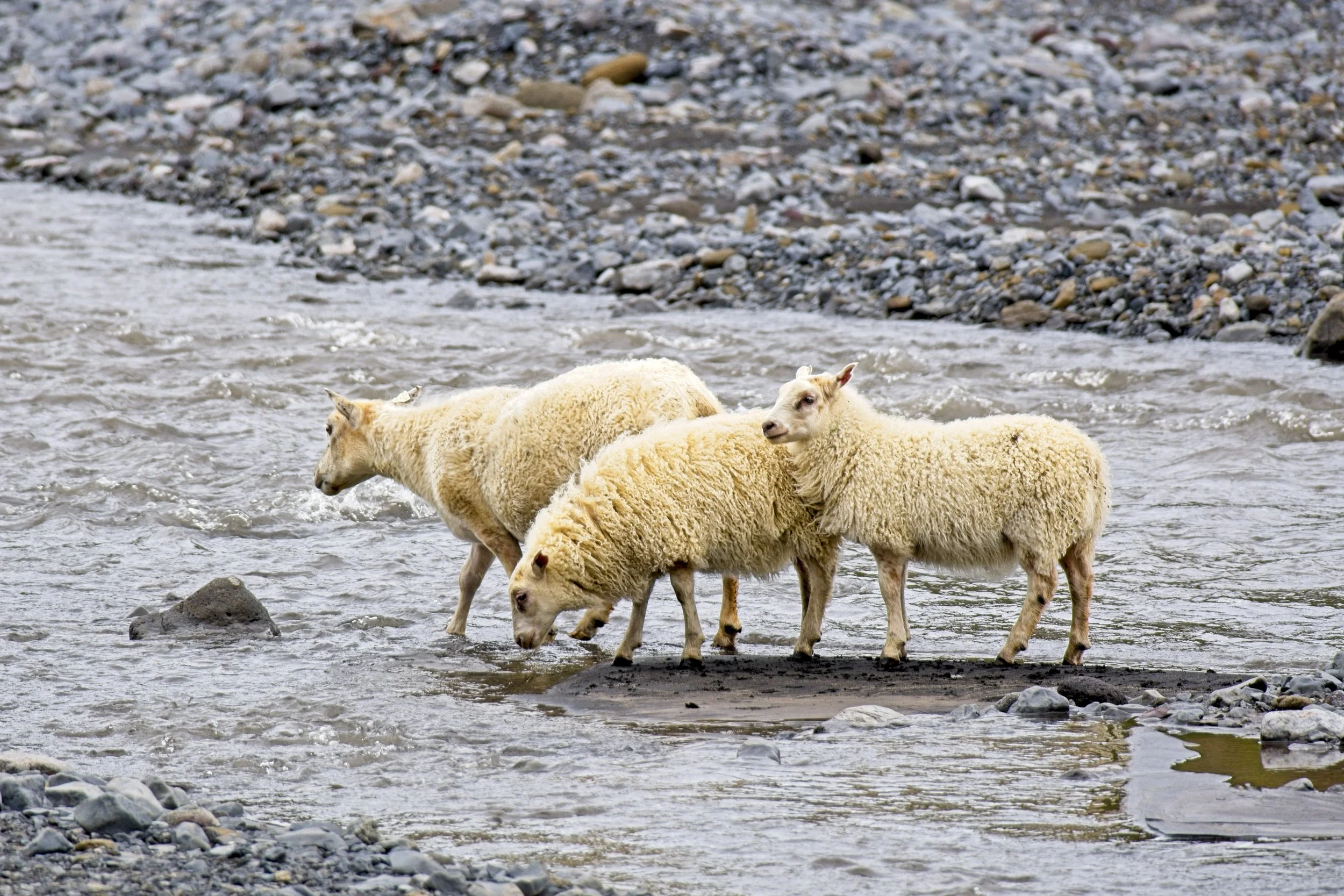
The sheep were still mulling around when I woke up and provided some morning entertainment as I ate brekkie and got packed up. Also, on deck for entertainment, was a hiker slipping and falling into the stream just 10 feet from camp. I followed the river for a bit, passed many hikers and big groups, and arrived at the cool corkscrewing waterfall in the Ljósá River. It is just out of sight from the trail when it crosses the river on a bridge, and another tour group was taking a lunch break, oblivious to the falls just upstream. I got some nice shots and then went off trail a bit to see the confluence of this water with the larger Markafjlot River. I took my lunch break there.


Soon after, I walked into a forest! It was odd seeing actual trees on this island where they are so scarce. Numerous Alaskan Lupines and Wood Crane’s Bill flowers also added color to the palette of the hike, which was largely been green and grey. I began to see an uptick in day hikers and even a few mountain bikers so I knew I must be getting close to Thórsmörk, another popular basecamp accessible by road. Then I saw a cargo plane buzzing by overhead, at a seemingly low altitude, and I was more confused when it looked like the plane started dumping cargo. “There is a road right here, why do they need to air drop supplies?” I thought. But then I saw that they were of skydivers jumping out! I caught a video clip of this.


I got to Thórsmörk and ate some snacks as I chatted with other hikers. To many, this was the finish line of their adventure, but I was going up and over one more pass that is sandwiched between two glaciers, and then down the other side to see the many glorious waterfalls and finish my hike at the sea. One group had to make a quick exit to catch their bus and they donated all of their snacks to me. Score! I asked the hut host / ranger if they had a weather update, and he said it was awful up ahead and I should post up for the night. My SIM card had no service, but another hiker, Jennifer, did and she let me borrow her phone for my own research. Mike, from the bus ride to Landmannalaugar, arrived and joined the conversation about the incoming weather. The hosts came along again to reiterate the that the wind vortex always form at the top of the glaciers and get sucked down to the saddle between them, where they combine power, and which is right where the trail goes through. Damn, that makes sense. But I decided to try for it.I would hike part way up the ascent and camp, keeping an eye on the weather, and if it was as bad as he claimed tomorrow, I would bail and return to Thórsmörk. Besides, the host was probably just hoping to part me with some money for lodging for the night.


The trail snaked along Krossá River which had many shifting channels so Iceland installing permanent bridges, they made some on wheels and could tow them to wherever the water ran that season. I passed through a campsite and then began the big climb up to the glaciers. The surroundings remained full of lush greenery as the trail went up the spine of a ridge. It wasn’t cloudy or windy but I knew weather can change suddenly so I cautiously climbed higher and higher and could see the trail heading up to a large, flat tabletop mesa. Right as I concluded that I did not want to camp at such an exposed space in elevation, I came accross a cave. It had a flat spot and a fantastic view of the neighboring mountain and I immediately decided to cowboy camp there.