

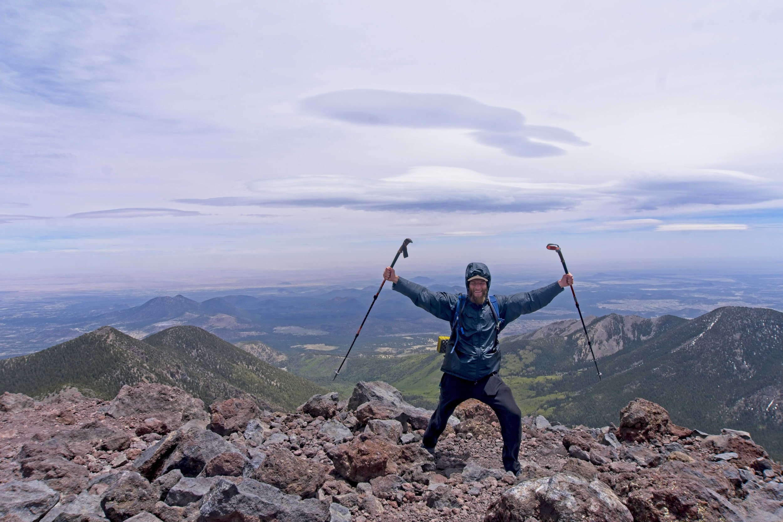
Mount Humphreys
The tallest peak in the state at 12,637 feet (3,852 m) The trail is 10.1 miles round trip and climbs 3,382 feet so it is quite a doozy of a hike. It begins at the parking lot for Snowbowl Ski Area, winds through the woods, and then pops above treeline at the saddle between Mount Humphreys and Agassiz Peak. The final push up Humphreys was rocky and the wind got rowdier and rowdier and I saw numerous hikers quit and turn around. I topped out and was thankful to find a windbreak built up where I ducked behind to join some other victorious hikers. We took turns running out in the wind and snapping photos of each other.


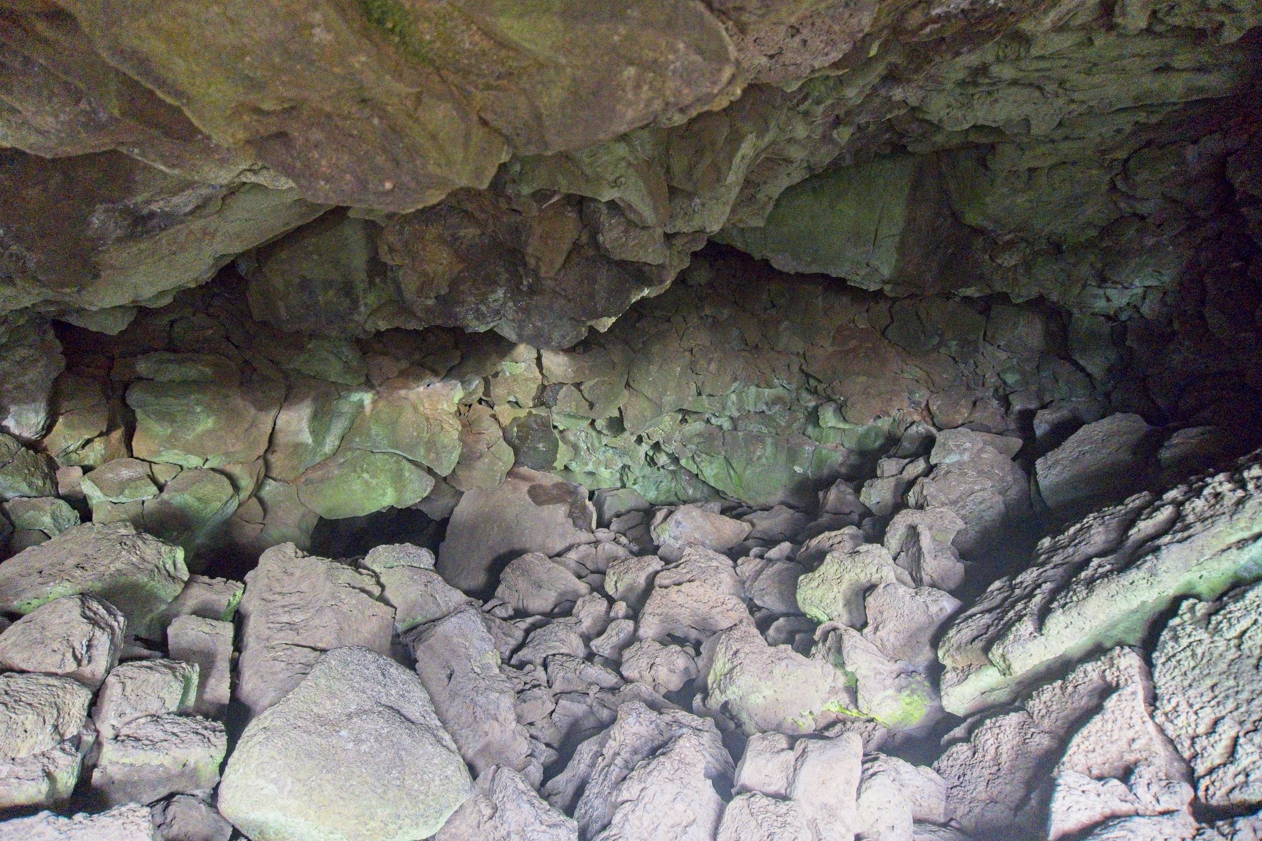
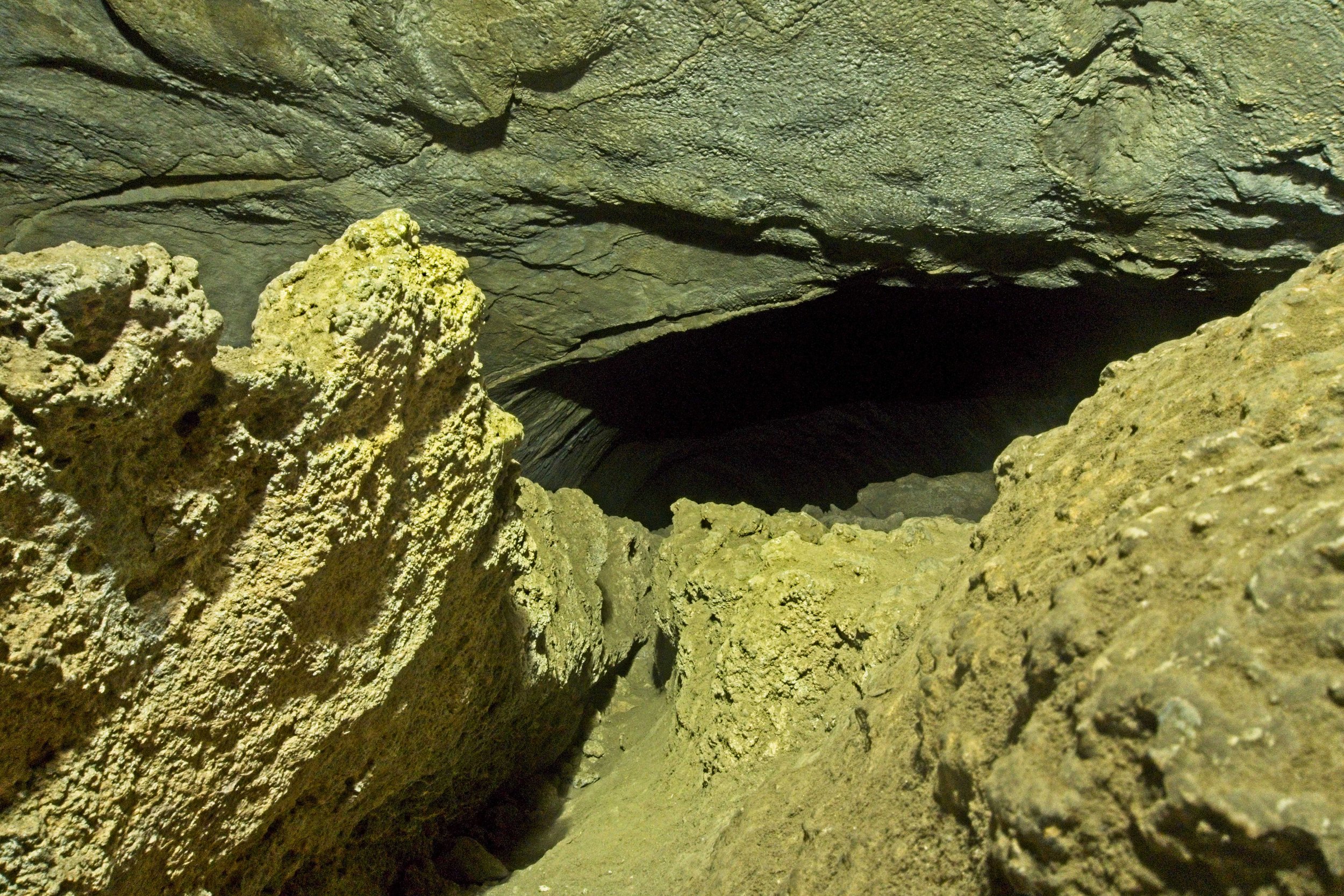
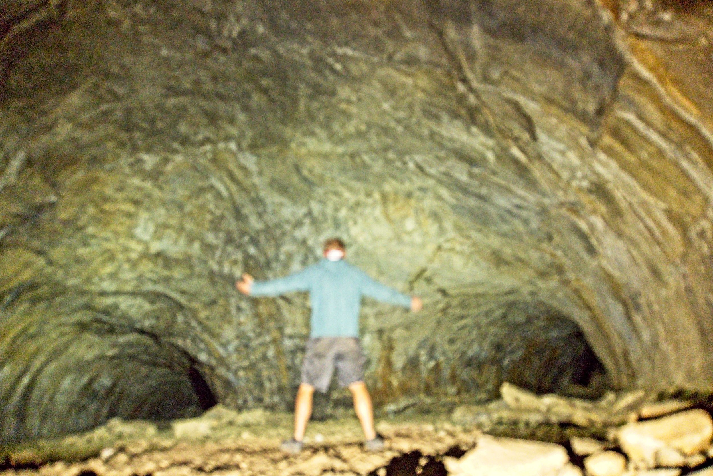
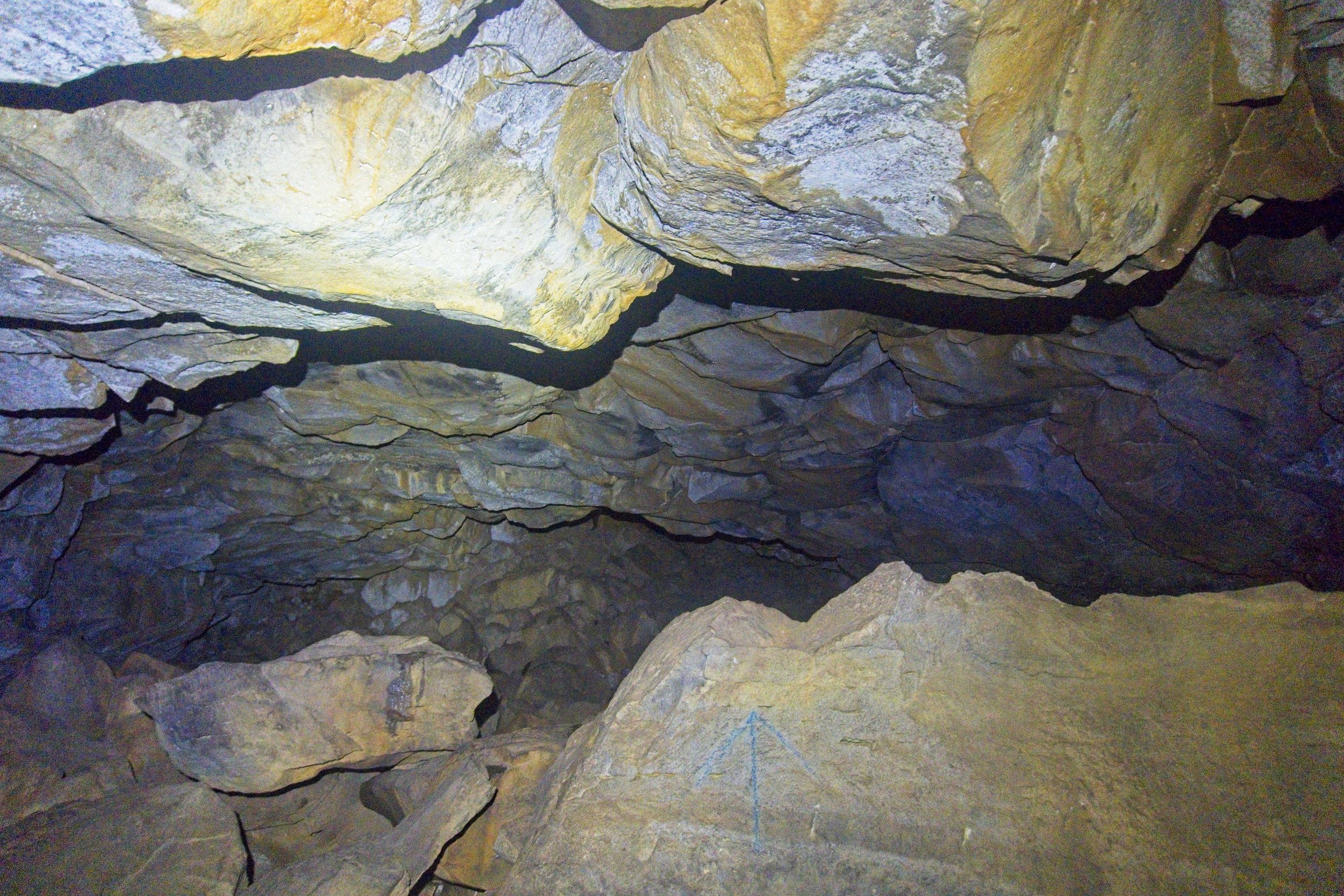
Lava River Cave
On my way back north to my normal stomping grounds of Utah and Colorado, I decided to stop in Flagstaff to do some more exploring. I first went to the Lava River Cave, a lava tube that snakes 3/4 mile underground in the absolute pitch dark. My camera was acting up so I was unable to get many photos that were in focus.
On the drive across northern Arizona there were some neat rocks, graffiti, and broken down remnants of a hotel:


