This summit sits at 18,620 feet (5,675m) above sea level, which is the highest peak in Mexico, the tallest volcano in all of North America, and also the third highest peak in the continent! The modern name is Pico de Orizaba but the Aztec’s named it Citlaltépetl, which translates Star Mountain, and also is in Citlali’s name, so she was extra excited to hike her mountain.

Brocken Spectre!!! Keep reading to find out what this is about.
(6 minute highlight video below, 1.5minute version at the end)
We were originally planning to hike Iztaccíhuatl (Izta) on this trip because it is more accessible from Mexico City and is less of a gnarly hike. Since we did not have a car or much camping gear this seemed like a great choice… but the neighboring volcano, Popocatépetl (Popo) was smoking and spitting ash so all of the nearby hiking trails were closed. Side note of the ancient Aztec love story of Popo and Izta. We then looked at the Tallest 5 Peaks in Mexico, all relatively close by, and decided to just send it and go for the tallest, Citlaltepetl. We hired a guide, Vincente, so we would have a ride to the basecamp, access to all the necessary gear (crampons and ice axes) and have someone to lead us along the tricky route up the Jamapa Glacier, which blankets the northern face of the volcano.
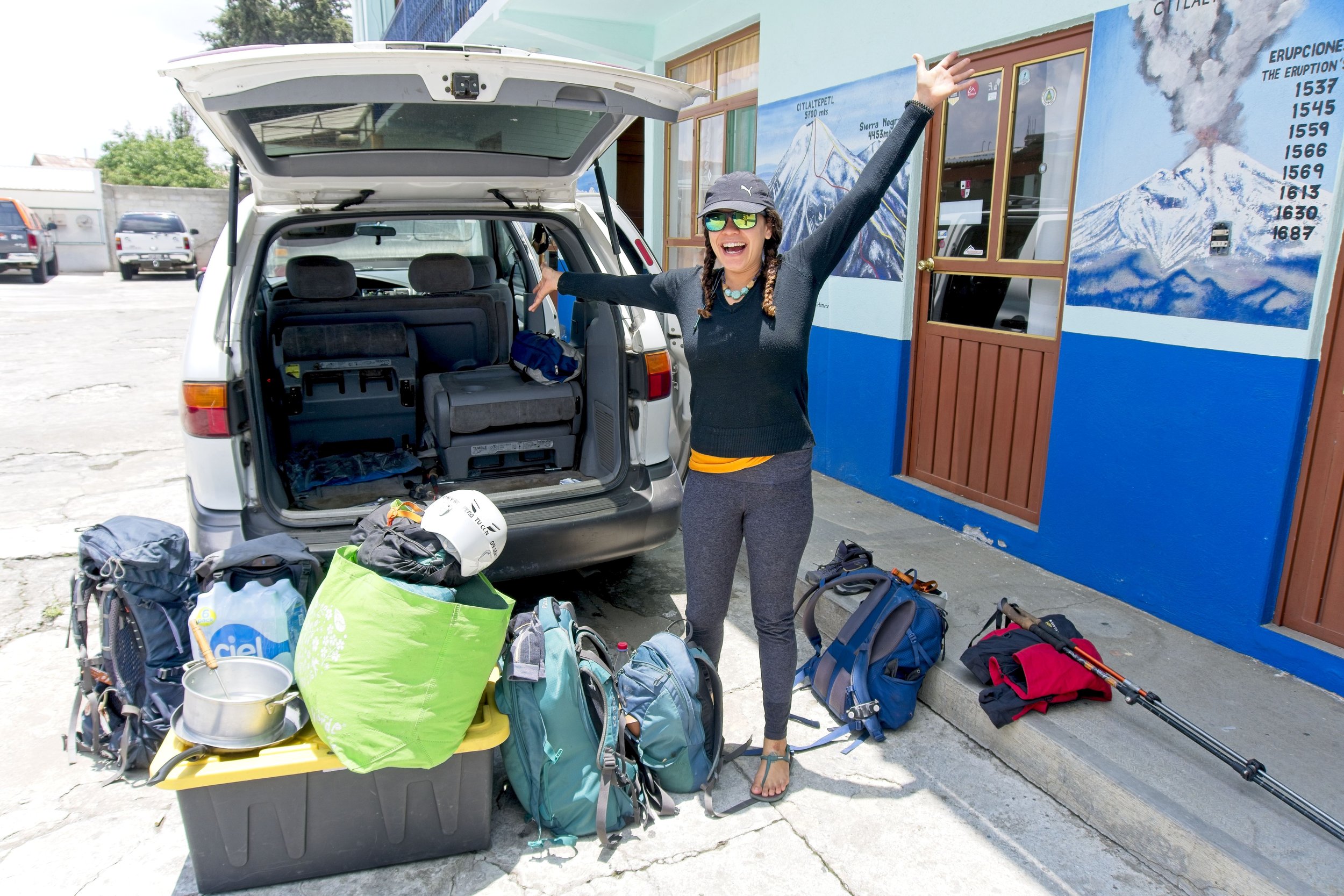


We made a pitstop at the tiny village of Tlachichuca to have a meal and transfer our gear into a 4x4 which then whisked us up another 5,300ft to base camp at the Refugio Piedra Grande. We did a short one mile hike to give our lungs a taste of the high altitude air at 14,000ft (4,267m) and then returned to the hut and chatted with some other hikers. One kid was from Germany and hiked up three days ago, loved it so much he went up a second time to see it after a layer of snow was laid down on the summit. We ate a final meal and then attempted to go to sleep at 8pm since we were planning to hit the trail at 1am. This early start is crucial so the snow will remain hard and frozen during our ascent which gives our crampons better traction.

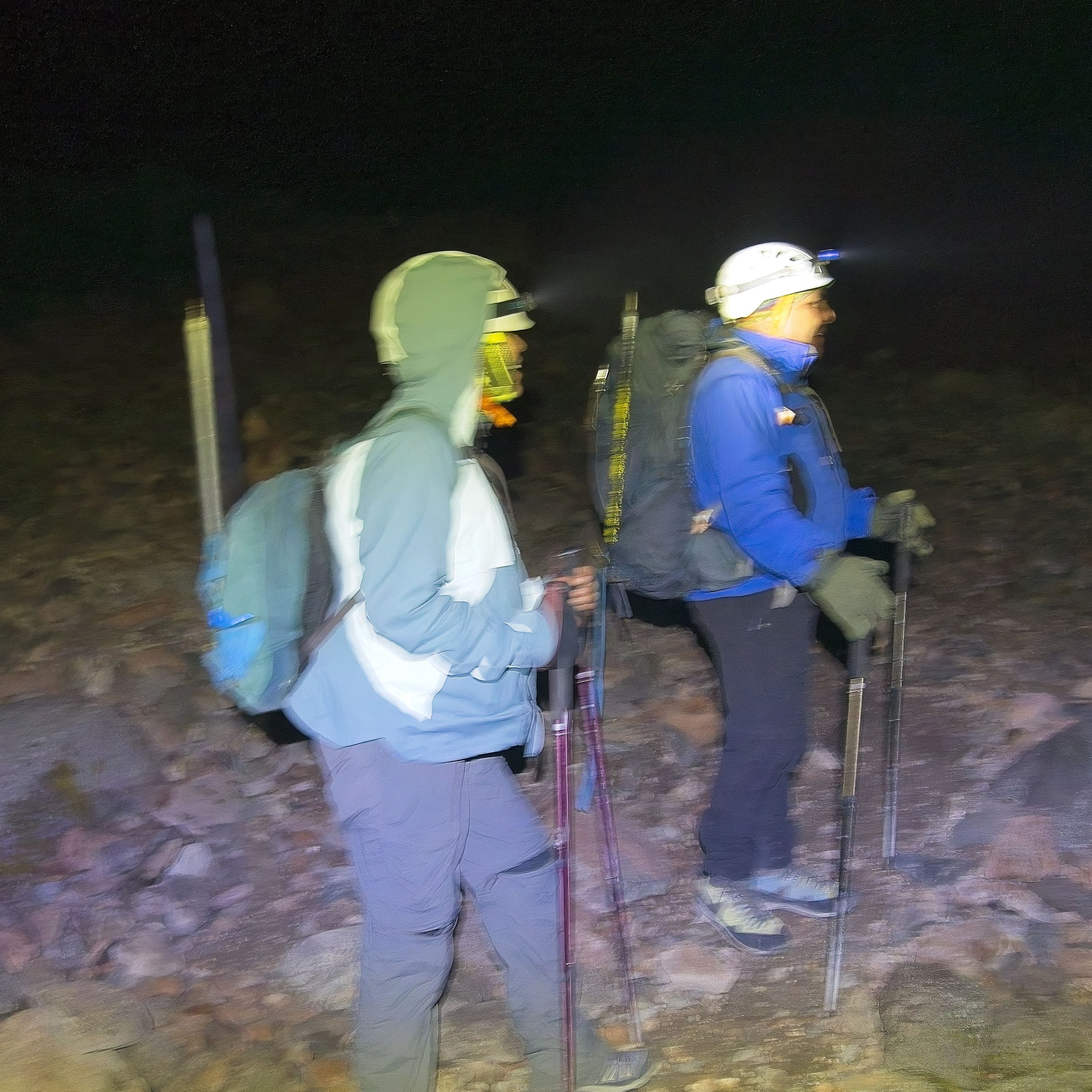

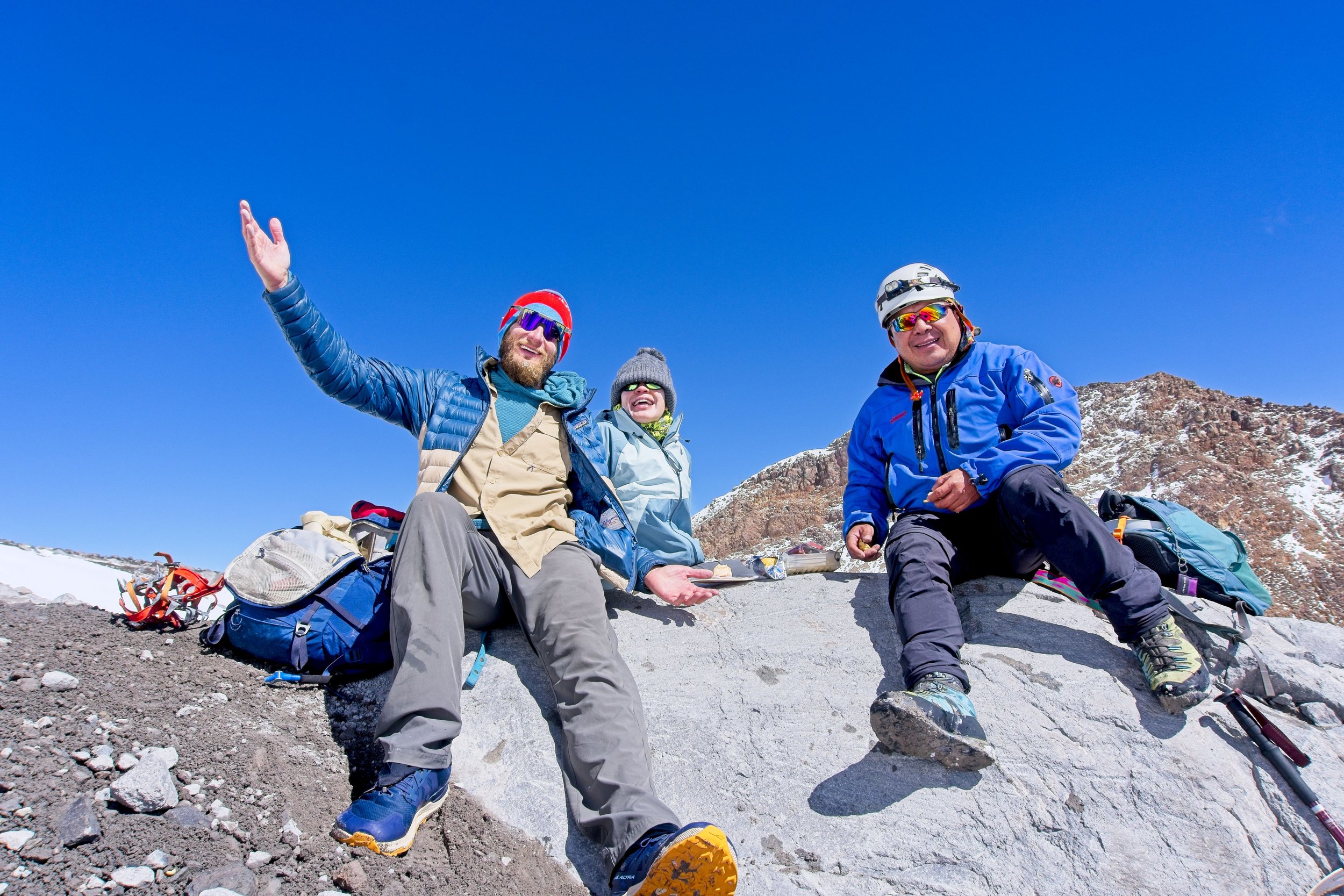
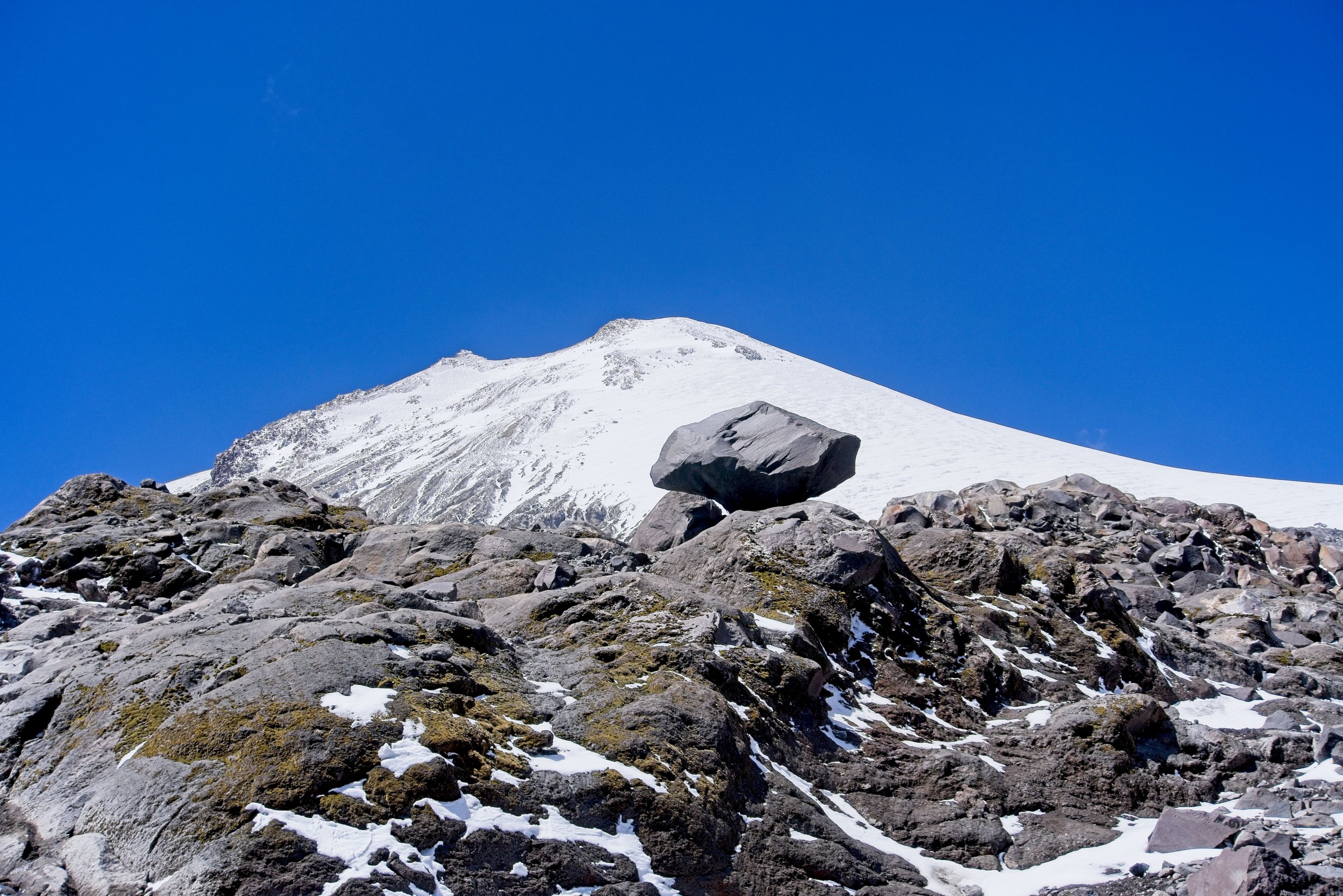
We passed the large group early on and kept chugging away up “The Labyrinth” a maze of loose rock that zig zags up to the start of the Jamba Glacier. Vincente showed us the spot where the glacier reached decades ago when he first climbed Citlaltepetl, and wow it had receded big time. I took some star photos when we stopped to put on our crampons and get tied together with our axes. It remained cold and got colder as we climbed up. Winds picked up and blew snow all around which created a total white-out with next to no visibility. We could tell the sun was beginning to come out as the whiteness grew brighter. Vincente seemed to stop more frequently and look around for this huge rock that serves as a landmark. Luckily, he had hiked this route so many times that he kept us on track without being able to see the crucial waypoint.
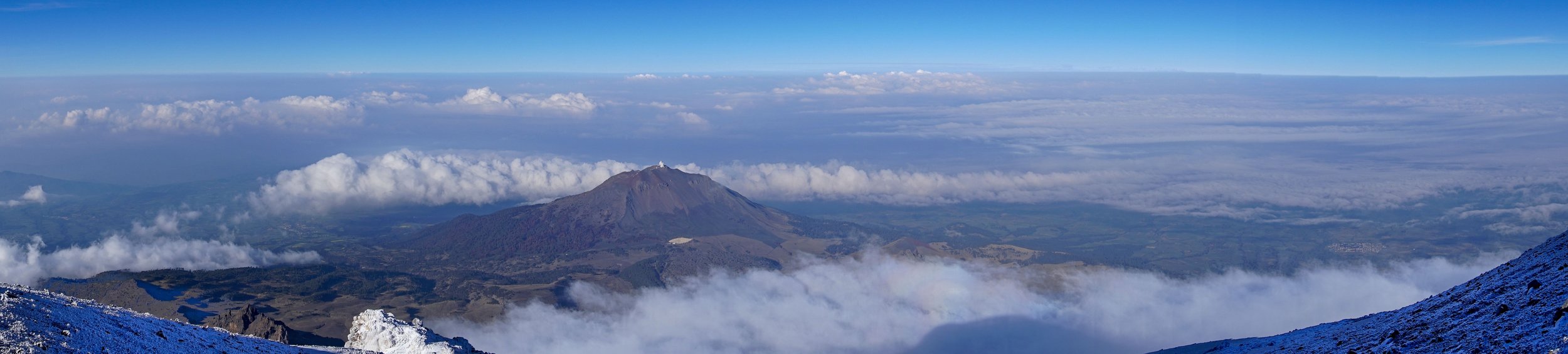
HAWC Observatory on the neighboring Sierra Negra.
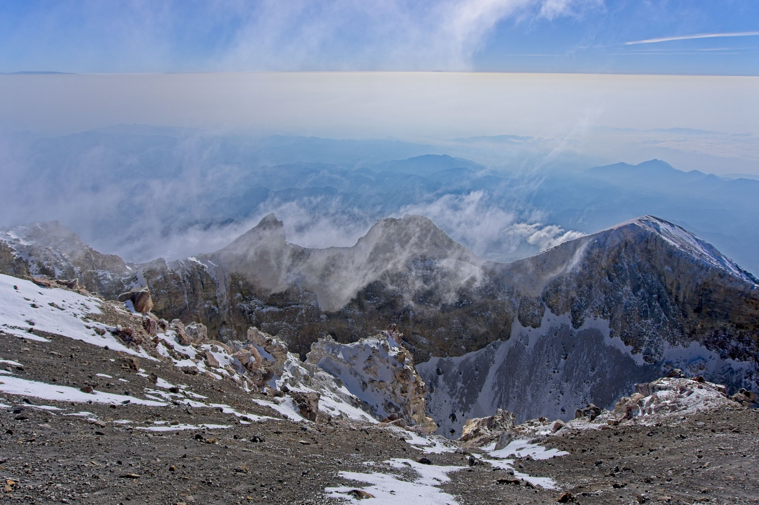
The fog, clouds, and snow finally began to subside as we made the final push to the summit, but the wind grew more intense and shifted to be a total headwind. The final 200m was absolutely miserable. But once we crested the ridge and saw the summit, it seemed to immediately clear up. The Hiking Gods smiled upon us! It was absolutely insane being at such high altitude. The views stretched out forever and you could clearly see the curvature of the earth. It was magical. There was even a Brocken Spectre, a very rare optical phenomenon that appears when the sun shines from behind the observer, who is looking down from a ridge or peak into clouds or fog.


I wish we could have stayed longer but it was absolutely freezing up top and it chilled us to the bone. We saddled up and began the descent through the now-slushy snow back down to the rock. We chatted with the other expedition for a few minutes who were far behind our pace but at least got to enjoy more views on the way up. We stopped for snacks at the edge of the glacier and removed our gear, then made the final drop back to the Refugio. The whole hike took 11 hours. I never thought that my first time using crampons and an ice ax would have been in Mexico!