Baja Coast to Coast Trans-Peninsular Hike PT 1
Last year I hiked El Picacho and this year wanted to have a bigger adventure while down in the peninsula. Citlali used to be a guide in these mountains and suggested the “sea to sea” hike which is usually just from a ranch to a ranch, about 30 miles, over the mountains. I figured we could start with our feet in the Pacific Ocean and then just hike up the dry arroyo, connect it to the mountain trails, then out another arroyo to the sea, how much harder could that be?
Day 1 - Pacific Ocean to Rancho Burro - 21 Miles
Our friend Stephanie volunteered to drive us to the starting point and on the way we stopped at Rancho Burro to drop off our camping gear and our food for days 2-5, this way we could slackpack up the long and monotonous arroyo. We also stashed a water cache about halfway and then continued to San Pedrito Beach, the starting line. We posed for some photos with our feat in the mighty ocean and then set off. After only 100m or so, a stranded surfer asked us for help since her truck was dead. A quick tightening of the battery terminal with my multitool was all it took! Citlali and I then continued for two miles to the bridge of Highway 1 where we stopped for a break in the shade.


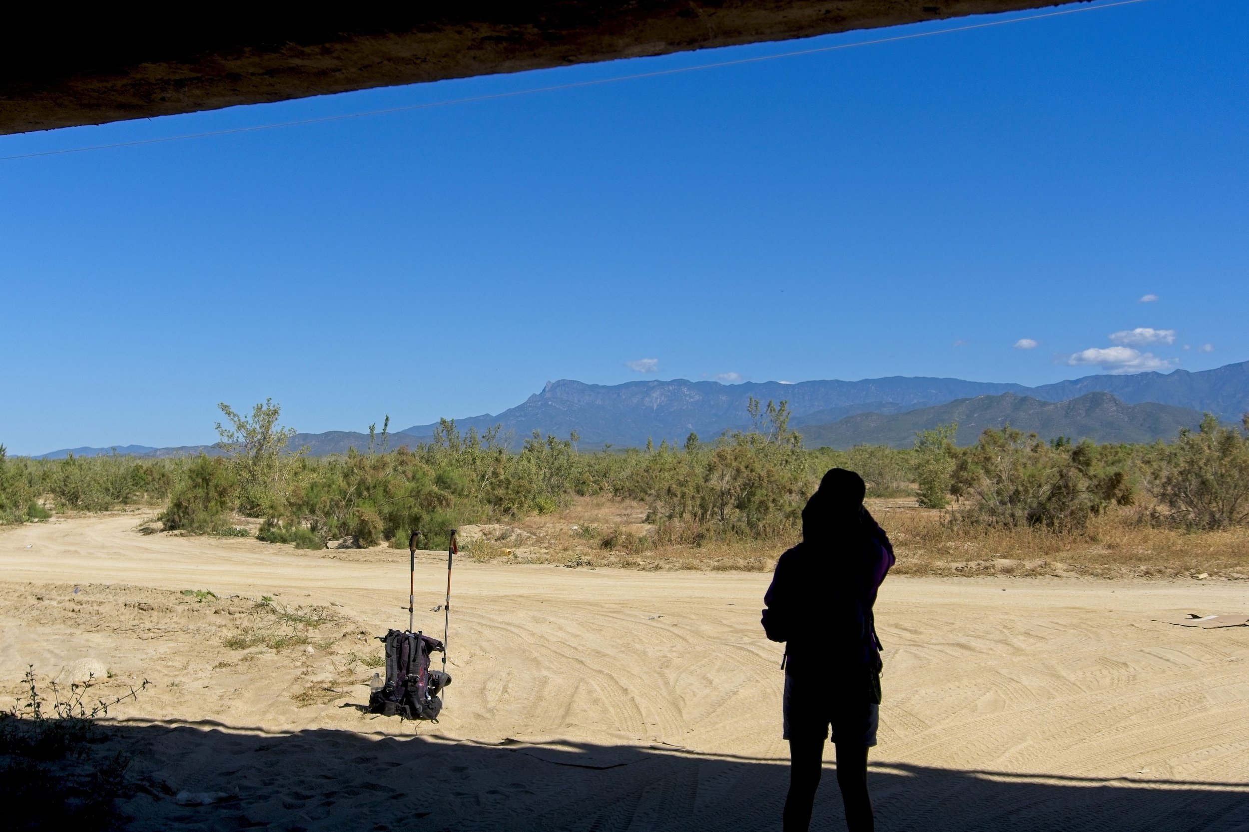


There was some mining operations going on but mostly just sand. We would try to find the hard pack to walk on but most of the time it was loose sand which hinders your hiking speed quite a bit. We took another break at our water stash and checked the maps, next up was a slingshot around Cerro Colorado to then head north. We saw some cows and a herd of pigs seemed to stalk us for a little as darkenss set in.


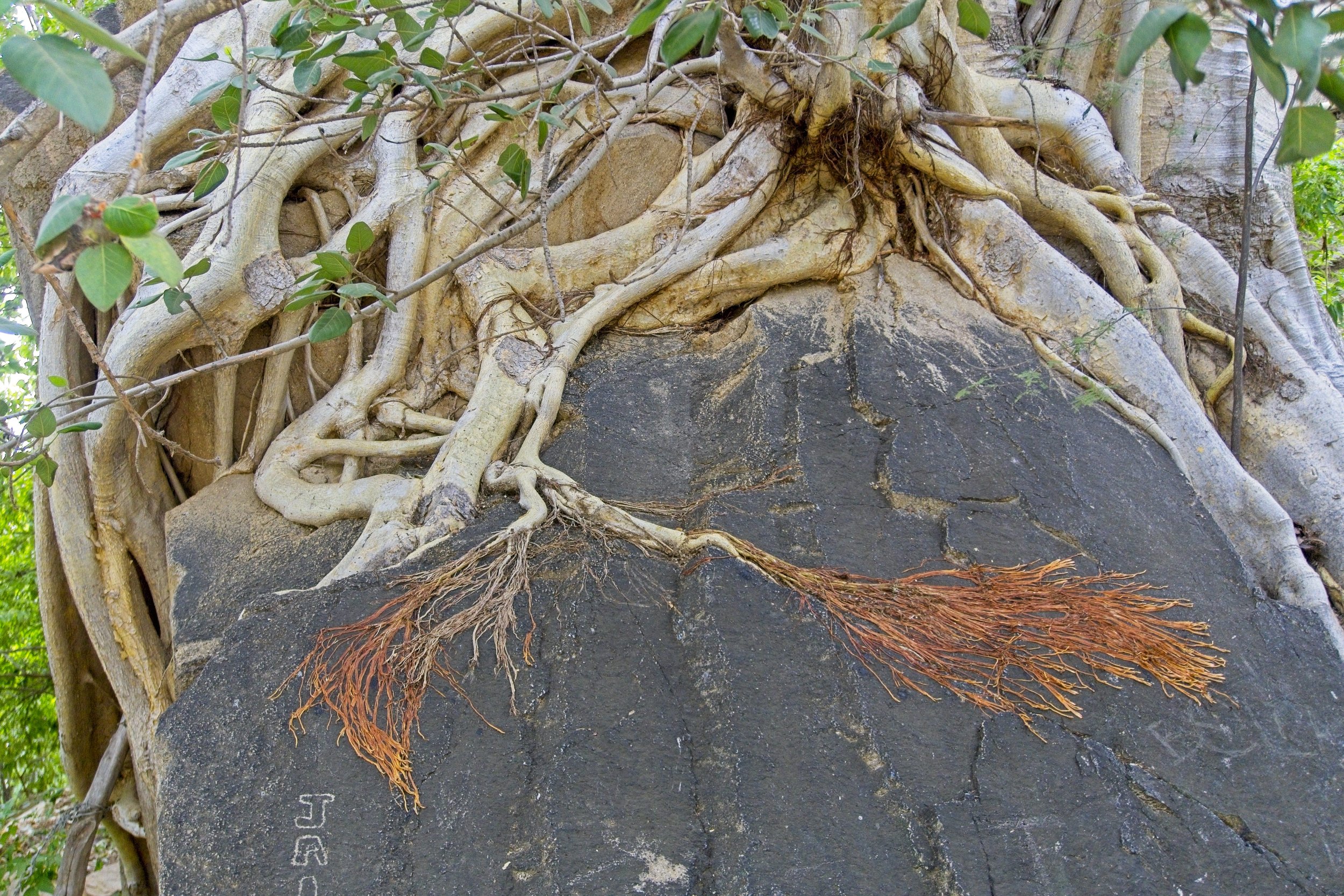
From Citlali’s guiding days, she remembered there was a spot where the arroyo narrows into a canyon that is said to be unpassable. To avoid long bushwhacking, I checked the topo maps and found a route where we could head up the canyon a little more and then take a shallow path out to connect to the road. I was wrong. We went right into the jaws of the impassable stretch. The topo map showed this as a very shallow incline, but was very incorrect. After scrambling up three wall features, we got to a fourth that was at least 10m tall and only had one very difficult looking crack climb. Without shoes or a rope, or an assurance that this was the final obstacle, we begrudgingly decided we had to backtrack. If we successfully climbed up, but found an even more unpassable climb above, we would have to downclimb this feature in the dark. Too risky.
We tried another sidewall that looked shallow enough but after scrambling up, we found more sheer walls. We retraced our steps to mouth of the canyon and soon found a road, but unfortunately it made a big loop before connecting back to the route we needed. If I had a satellite image, we could have saved 3-4 miles on this day, but we were out of cell service and exploring the good old fashioned way, trial and error.
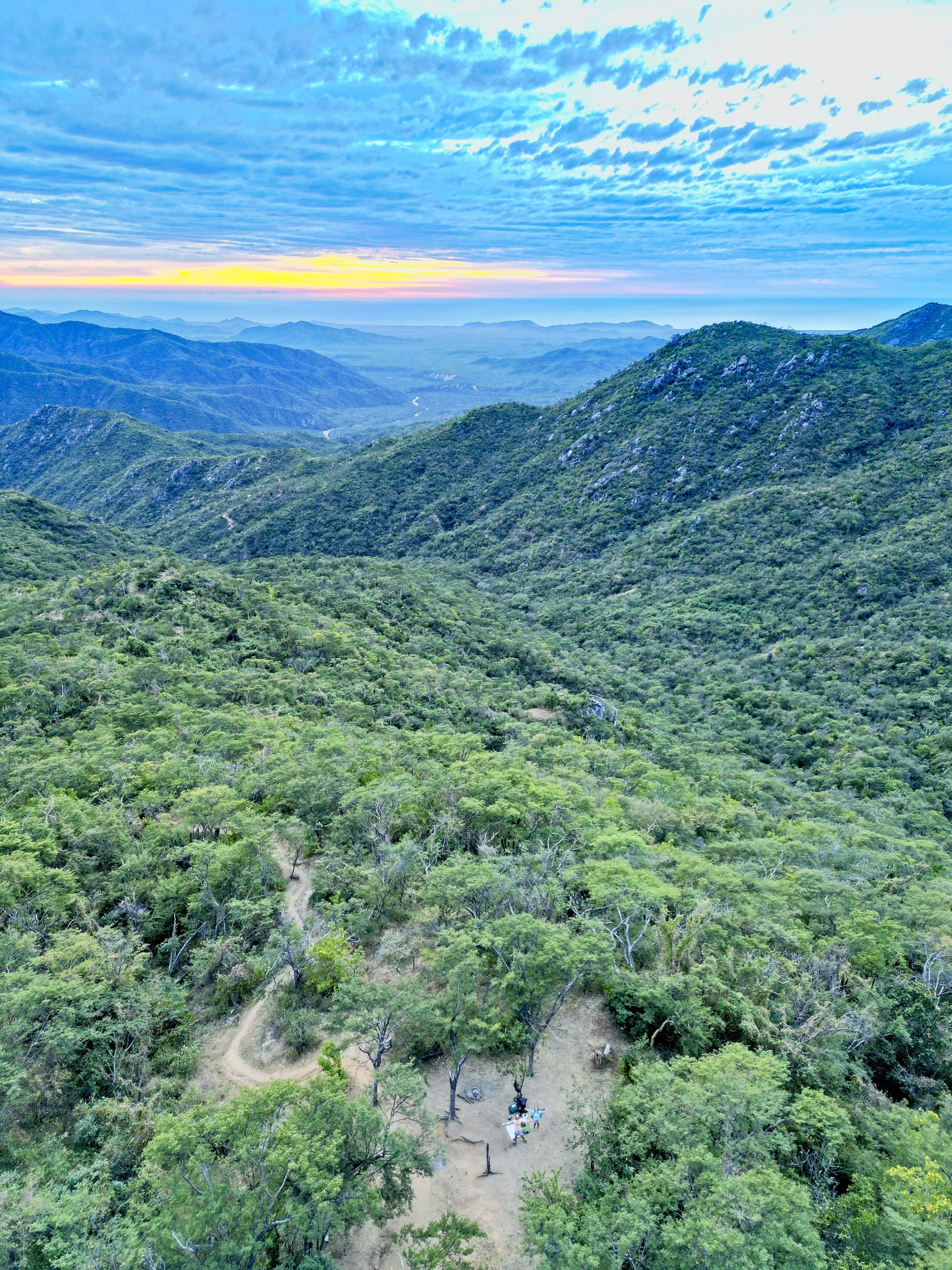
Day 2 - Rancho Burro to La Ventana Campsite - 3.3 Miles
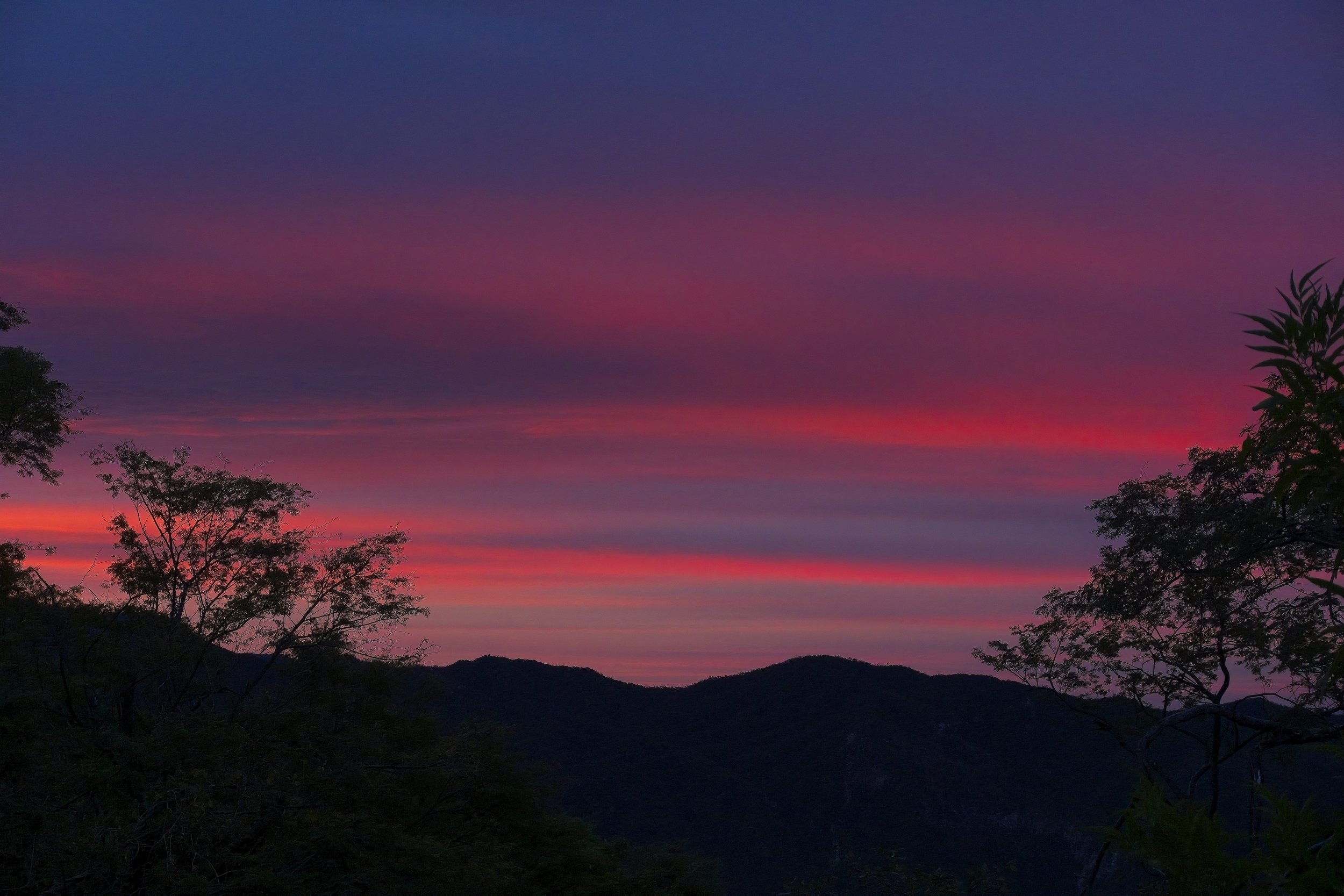
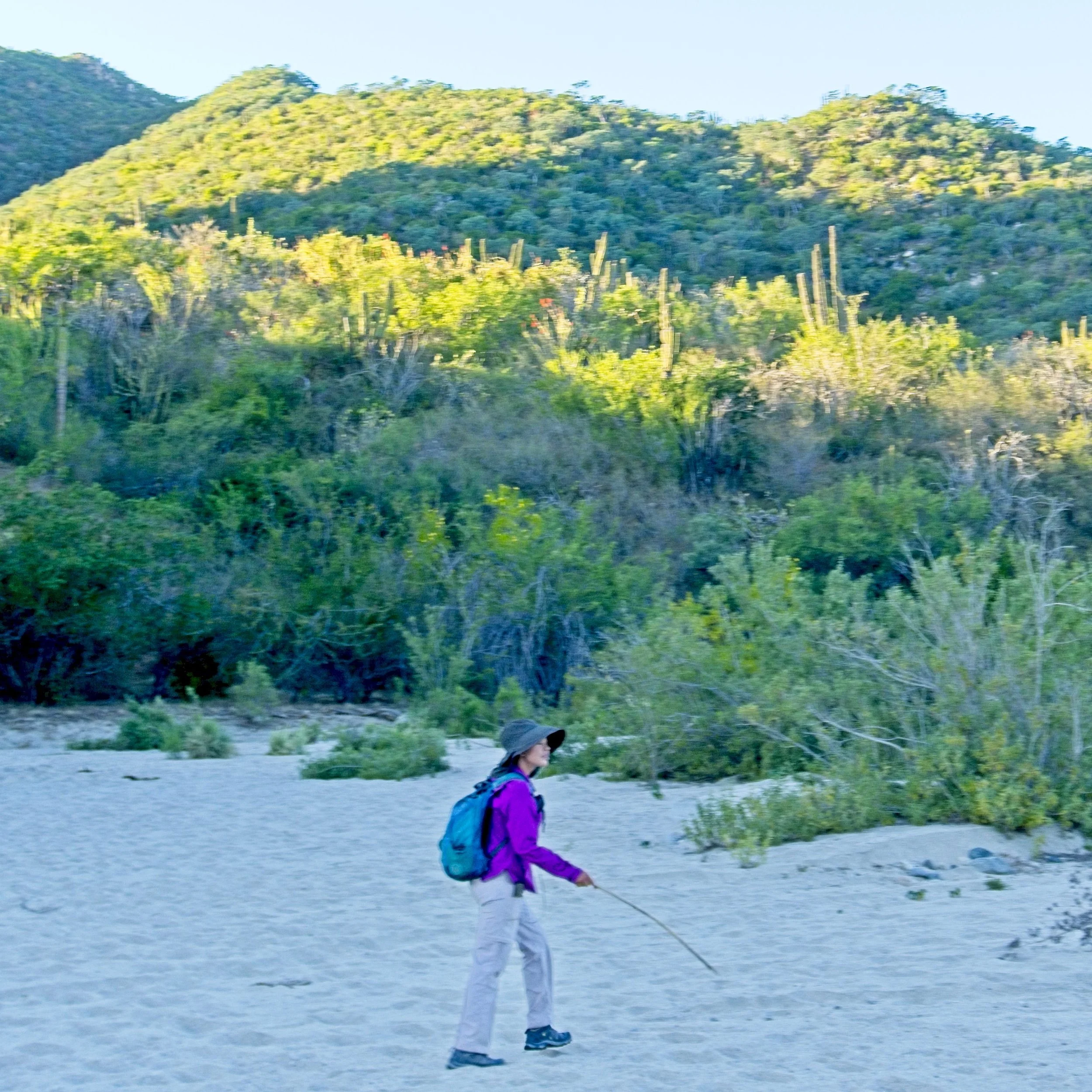
Since we did not get to sleep until 2a.m. with all of our mishaps in the canyon, we had a very late start today, just after noon. I ate a huge breakfast, and second breakfast, and took a cold soak in the river but then we were off. Today was a repeat of last year’s hike and it was steep and tiring, especially with full packs and four days of food to carry. As we got higher you could more clearly see our path from the day before, the arroyo emptying out to the ocean. Citlali pointed out the first oak tree, as the climate changes pretty drastically as we climb out of the desert. We decided to cut our day short, enjoy the sunset, and make a fire.